Yes, you can hike by the HSR

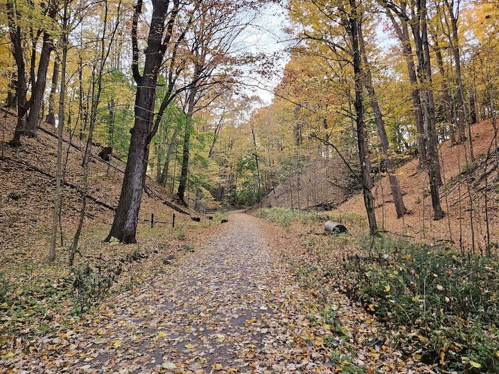
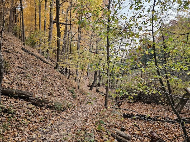
A car is not necessary to get to some beautiful trails in Hamilton, so hop on a bus to explore and check out the beauty of autumn.
It’s autumn, the best hiking season of them all (don’t argue, it’s facts!).
Warm days and cool nights mean fewer or no bugs, gorgeous tree colour, fresh autumn air and relatively dry trails.
Why not grab a latte and your favourite chunky wool sweater and head out for a hike? But what if you don’t have access to a car? Are you one of the thousands of Hamiltonians in all parts of the city who rely on the HSR or active transportation like walking and cycling to get around?
Fear not! There is nature for you, too. Here are my three favourite autumn hikes that you can get to by HSR, or by HSR and a short walk.
Red Hill Valley Trail
This trail is a bit of a mixed blessing. It’s a gorgeous nature getaway in the east end of the city, but you can’t avoid the sound of traffic roaring by on its namesake freeway. That said, the tree canopy of beech, birch, maple and oak along this trail make it a great one for autumn colours.
The best point to access this from by HSR is the stop at King and Lawrence, which is served by both the No. 5 and No. 11 buses. From there, head south on Lawrence to the parking lot and then north on the path. Make sure to head just slightly off the trail to the right once you’ve gone under the underpass for the ultimate urban “throwing rocks to make them splash in the water” experience.
If you make it all the way to Barton, from there you can catch the No. 2 or the No. 4 back to where you need to go.
Caleb’s Walk, Sassafras Point Trail, Princess Point Trail
This one is a journey, but well worth your time. Catch the No. 1, the No. 5 or the No. 51 and alight at Marion Avenue in the Westdale village. Grab that latte from Paisley Café, Mikel Coffee or Second Cup and walk north about five to seven minutes to Churchill Park.
From there, you have a few options.
To the right is the Caleb’s Walk Trail, which is a short loop back to Churchill Park. This is a great, short hike through a wetland along a boardwalk. Early morning sightings for me have included snapping turtles and a fox carrying its breakfast back to its den in the spring. It’s also not uncommon to see deer browsing in the woods at the top of the trail.

At the bottom of that trail in the valley is the trail up to Sassafras Point. This glorious hike is pretty much uphill the whole way there, but the treat is the native sassafras trees. Known as the “mitten tree” for its distinctive leaf shape, these turn anywhere from deep gold to bright red in the fall.
At the top of the trail is a lookout with bench seating – perfect for a snack and a rest before heading back. Don’t forget your binoculars, as the migrating birds this time of year are many and varied. You may even catch a glimpse of the bald eagle family fishing in the shallow water of the Cootes wetland.
Coming back up the hill towards Churchill Park, you can detour up a set of stairs to the Ginger Valley Trail that will connect through the end of Churchill Park to the Princess Point trail and finish in the Royal Botanical Garden property of the same name. From there, you can catch the No. 6 back to downtown or up to a connecting bus on Main or King streets.
If you start in the other direction at Princess Point, there is a fully accessible trail. Catch the HSR No. 6 to the Princess Point stop, wheel your way through the parking lot and onto the trails for a gorgeous trip through a maintained oak savannah with several lookouts from which to enjoy the fall shorebird migration.

Bruce Trail
Finally, the Bruce Trail through Hamilton is accessible by bus from a number of points, usually associated with stairs up the escarpment. The No. 7 Locke bus lets out at the top of Dundurn at a popular trail point. So does the No. 41 at the Kenilworth Circle, which is a short walk to the stairs to the trail. There are several other points in between, including the No. 5 and No. 12 stop at Stinson Street and Grant Avenue South, from which it’s about a 100-metre walk to the Wentworth Stairs.
If you’re going to hike the Bruce Trail through Hamilton, you may want a map. The Bruce Trail Conservancy sells a book of every map along their trail, but few people seem to realize that you can download and print individual maps for only $5. The Hamilton map features the whole length of the city in an easy-to-read topographic format, for those of us who also love to calculate how much elevation gain we’ve hiked, too.
General tips
As with all things – and perhaps more importantly if you’re travelling by HSR – always be sure to bring a snack and a refillable water bottle. Some places along the escarpment stairs feature water bottle refill stations for hot days, but many other hikes won’t have water available. It’s also a good idea to pack a small first aid kit in case someone skins their knee and a light backpack so you can add and shed layers as you move in and out of the shade.
Don’t let HSR life keep you from taking part in nature’s beauty this fall. Grab your PRESTO card, hop on a bus, and get ready to explore the outdoors.
Jason Allen is the host of The Environmental Urbanist, Tuesdays at 1 p.m. on 93.3 CFMU, and has been encouraging Hamiltonians to explore the outdoors for almost two decades.


